Summit Nature Reserve – Littleborough, Rochdale
Summit Nature Reserve is a small wetland habitat surrounded by mature boundary hedgerows of hazel, hawthorn, blackthorn and holly.
Elsewhere mature alder occurs in stands located along the river banks, where oak and alder are beginning to establish. Marsh species (e.g. Phalaris Arundinacea) occur predominantly in the wetland areas.
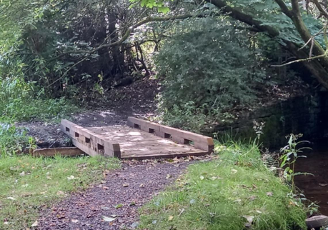
There is the opportunity to explore the wetland habitats through a series of paths and viewing areas to get closer to the River Roch that flows through the site. The site provides a gateway to the Pennine Moors and Rochdale canal that runs close by and is accessible from the footpath network.
The path network is connected to other local public footpaths and the route 66 national cycleway and has an open picnic space/seating area to escape the hustle and bustle.
Please note: this site is intended to flood when river levels are high to help prevent flooding downstream, please check local weather warnings for heavy rainfall before attending.
Long term ambitions:
• Develop a structured woodland with mixed tree species of differing ages free from invasive species
• Provide additional flood water storage capacity during peak river flows
• River bank restoration
• Combat invasive species such as Himalayan Balsam
Access to the site is gained from the car park opposite Stanfield Hall Primary.
Co-ordinates for the nature site are: 53°39’28.3″N 2°05’01.5″W