Drone services
Groundwork Greater Manchester can provide a range of drone services from our CAA approved drone pilot to partners who share our values and support our mission.
Whether you need drone imagery for marketing, presentations or to inform land management plans, we can provide stunning 20MP still photographs and shoot video in HD up to 5.4K at an affordable and competitive price.
We can;
- Assist with surveys along rivers or on land which is inaccessible, saving time and resources
- Track progress of Biodiversity Net Gain enhancements with periodic site visits
- Take accurate before and after photographs of work using autonomous flights
- Take aerial imagery including panoramas, timelapses and night-time shooting
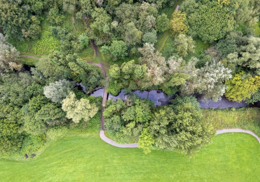
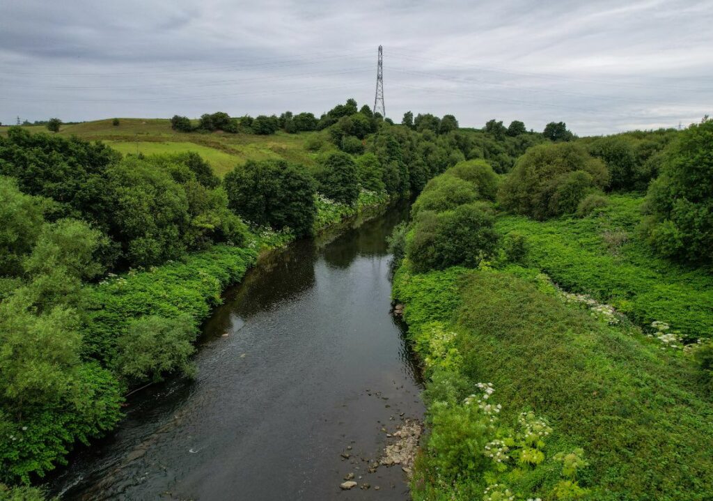
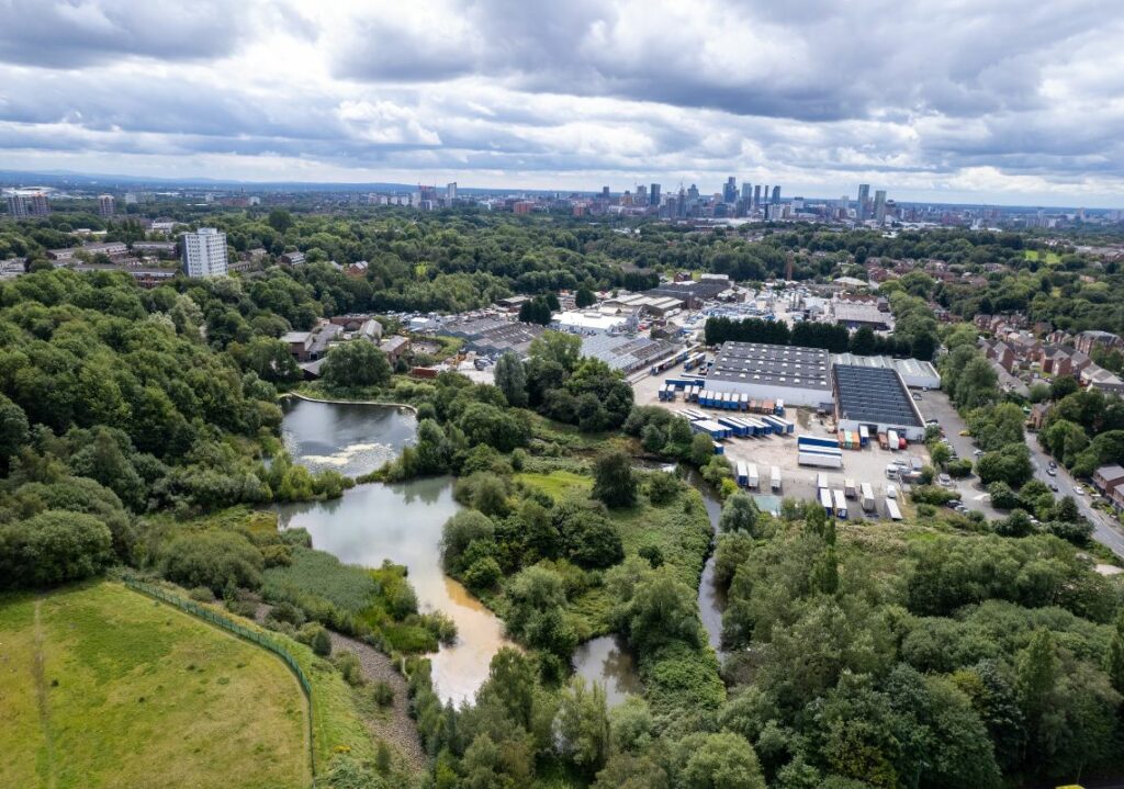
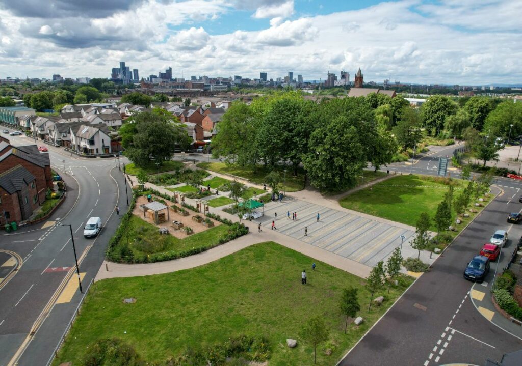
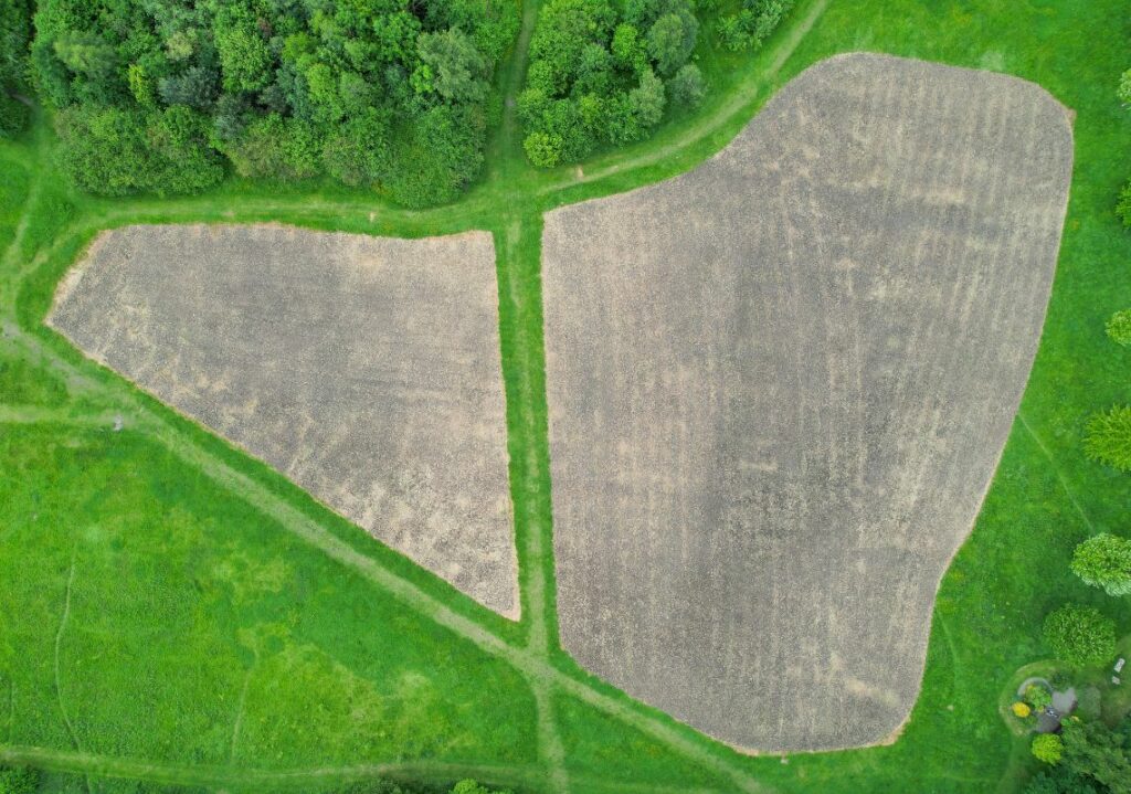
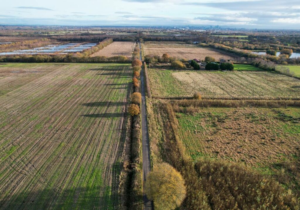
We offer a selection of edited high quality aerial photographs as a standalone service, or you can add this to one of the above services. We also offer a video package, which includes a short video edited with music and branding to your requirements, or we can provide you with the RAW footage.
*All services depend on obtaining land owner and/or Air Traffic Control permissions, as well as other permissions, which will be discussed during an initial meeting.
Groundwork GM – Work with us
Please complete this form is you’re an organisation looking to work, or partner, with Groundwork Greater Manchester:
Using Drones To Survey Invasive Species

As part of the Natural Course programme, Groundwork delivered a drone survey across several waterbodies in the River Irwell where there were suspected ‘hotspots’ of Giant Hogweed.
To scope out and price up work properly I think drones are essential. First, they make the process safer and allow you to survey areas you couldn’t otherwise survey, either because of terrain, dense foliage or other risks. The images are sufficiently clear to be able to identify the top layer of plants and you can fly as close as you like to get a better look.
Paul Barrington, Biodiversity Data Manager, Tameside Council
